![]()
![]()
 |
The Glencaren map can be viewed on the left side of your screen. To the
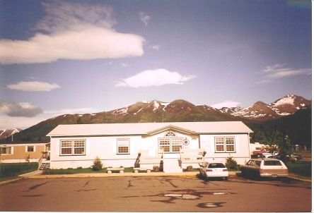
east (top) are the Chugach Mountains, and to
the west (bottom) is the City of Anchorage.
You can get a rough idea of the size of the court by traveling the outer
ring (Pop Carey Drive), which covers close
to a full mile.
 An on site storage facility can be seen in the lower left hand corner of this map. This secure facility is offered to all of our residents at a minimal charge. R/V's, boats, snowmachines, and other recreational vehicles are required to be stored in compliance with our covenants. |