Duane's Alaska Weather Page |
|
Duane's Alaska Weather Page |
|
Welcome to my Alaska weather page. I hope you can find what you need here without going all around the net for this stuff! All of the products here are in the public domain, and are obtained either from government or university sources unless duely noted.
Currently Available are all the text products from Alaska, along with Satellite Imagery and the 6-hourly surface maps produced by the Anchorage Forecast Office. Model data is on the way...once I find data on the internet that I like.
Text Products (use your BACK Browser key to return here)
Current Statewide Alaska Watches, Warnings and Advisories
From the Anchorage Forecast Office
-->Anchorage
Area Forecast Discussion
-->Anchorage
and Vicinity Forecast
-->Anchorage
and Vicinity Extended Forecast
-->Talkeetna,
Kenai, Homer, Seward, Cordova and Glenallen
ZoneForecasts: Bristol Bay,
Kuskokwim Valley, Kuskokwim Delta
Forecasts From the Anchorage Area WSO's: Valdez, Kodiak, Cold Bay, King Salmon,
Saint Paul
Island, McGrath,
Bethel
From the Fairbanks Forecast Office
-->Fairbanks
Area Forecast Discussion
-->Fairbanks
and Vicinity Forecast
-->Fairbanks
and Vicinity Extended Forecast
-->Zone Forecasts:
Interior Zones: North Slopes
Brooks Range; Upper Yukon, Koyukuk/Upper Kobuk, Tanana, Lower Yukon Valleys
Coastal Zones: Arctic Slope,
Northern Seward Pen./Lower Kobuk Valley, Souther Seward Pen./Eastern Norton Sound, Yukon
Delta, St. Lawrence Island/Bering Sea Coast
Forecasts From the Fairbanks Area WSO's: Barrow, Nome, Kotzebue
From the Juneau Forecast Office
-->Juneau
Area Forecast Discussion
-->Short Term Forecasts:
Yakutat ,
Haines , Skagway , Juneau , Sitka , Petersburg , Wrangell , Ketchikan
, Metlakatla
, Klawock
, Craig
-->Zone Forecasts:
Yakutat Area , Sitka Area , Lynn Canal and Glacier Bay Area,
Juneau,Admiralty IslandIcy Strait
Area,
Petersburg and Wrangell Area,
Annette and Ketchikan Area,
Craig and Klawock Area
Other Statewide Text Products
Hourly
Alaska Weather Roundup (updates around :30 past the hour)
Hourly Bouy
and Coastal Automatic Station Data
Alaska
Weather Summary (00Z and 12Z Daily)
Graphic Products
Satellite Imagery
 |
 |
| Above is the current Composite IR image
from the NOAA Polar Oribiters centered on Alaska. (Larger Image Click Here!) |
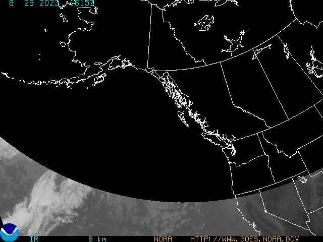
Above is the current IR GOES-10 image of
Alaska, Western Canada and the Pacific Northwest. (Larger Image Click Here!) |
|
 |
| Above is the current Visible GOES-10
image of Alaska, Western Canada and the Pacific Northwest. (Larger Image Click Here!) |
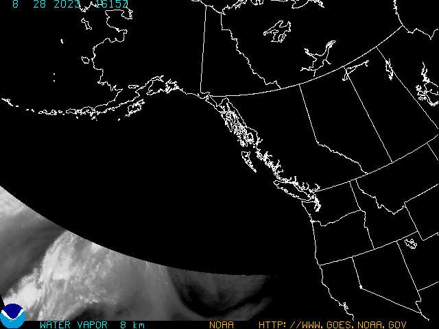
Above is the current Water Vapour GOES-10
image of Alaska, Western Canada and the Pacific Northwest. (Larger Image Click Here!) |
Alaska Surface Maps (produced by the NWSFO ANC)
Below are the four daily surface maps produced by the Lead Forecaster at the NWS Forecast Office In Anchorage. These are produced at each 6-hourly UTC time, and usually appear about +2:30 from the map time. Click on the Time Stamp to view the Larger Image!


