|
|
|
| AAWU
HOME
INFRARED IMAGE VISIBLE IMAGESPolar Orbiter About Weather Satellites |
All of Alaska! Below is the current composite image made from the Polar Orbiting NOAA Satellites. Click here for a 1280x1024 of the image below. 
Below is the current GOES-10 Geostationary Satellite Image of Alaska, Western Canada and the Northwest United States, courtesy of NOAA's GOES Satellite Server. 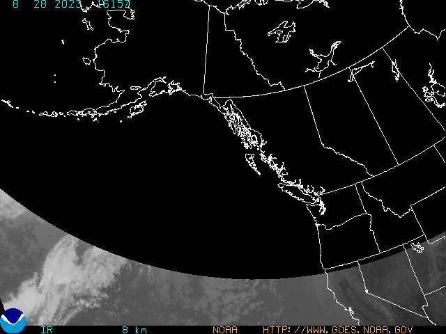
More broadscale and detailed images of Alaska can be found at the Alaska Region Satellite Page. For Lower 48 and Global images, visit NOAA's GOES Satellite Server. |